Ocean Satellite Image Classification with Ontologies
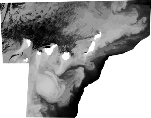
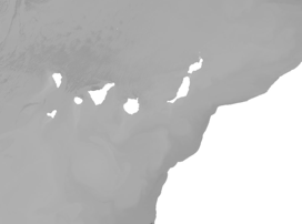
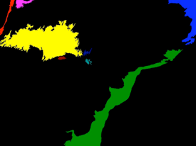
The aim of the project is the use of ontologies for classifying ocean satellite images. With this aim we have developed an ontology for ocean satellite images, we have defined different kinds of classifiers in terms of the ontology, and we have developed a Protegé plugin for classifying images, allowing to apply different kinds of classifiers. The modeling of the ontology has been achieved by means of OWL, and classifiers can be defined from SWRL. The developed system is able to classify ocean structures: upwelling, wake, eddy, etc by using low-level features and human expert knowledge.
Aim of the Project

Team:
Jesús M. Almendros Jiménez
José A. Piedra
Luis Domene
Universidad de Almería
Dpto. de Lenguajes y Computación
Contact:
jalmen at ual.es